If you are planning on taking an overnight hiking bus from Shinjuku, chances are you’ll be getting on at Shinjuku’s west exit bus terminal (新宿西口都庁大型バスP)
Shinjuku station is a maze as it is, and it might be a bit hard to using Google Maps - so here’s a few tips that should probably help.
When getting off the train line, head downstairs
This advice applies to if you are coming via the JR line - if you are coming via the Keio or Odakyu lines, I think there may be only one way to get out.
Assuming you’re getting off on the JR line, the first step in not getting lost is to find stairs heading downwards on the platform. The JR station’s platforms are setup so that heading upwards will take you to the main road outside, while heading downwards will keep you in the underground walkways underneath the station.
However if you do accidentally head up, I recommend getting out onto the main road and letting Google Maps guide you the rest of the way. It will probably be a bit of a detour as depending on where you get out, you will have to do a loop around the station to get to where you need to go.
Find the west exit, and turn left
Exit the ticket barriers via the West exit, and then immediately turn left. From here, you’ll want to go in a straight line for as long as possible. You may need to veer right a bit to go around a wall. There always seems to be construction going on in Shinjuku station so things may or may not have changed by the time you go there.
Start looking for signs that point in the direction of the Tocho (東京都庁) or Chuo Park.
If you’re feeling like you’re getting lost (or are coming from somewhere slightly different) generally just try and find signs that mention somewhere “west”. Make sure not to go in any of the other directions.
Find the taxi rotary
If you go straight for long enough, you’ll end up coming to a road / taxi rotary area.
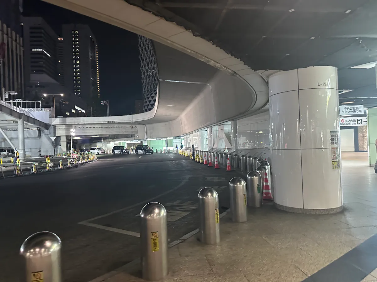
Once you’ve reached this road, keep it on your left and keep following its curve around.
Follow the signs for the Metropolitan tocho
As you follow the curve of the rotary, you should start to see signs for the Tocho. Once you do, head in that direction. You should then come to a long underground walkway.
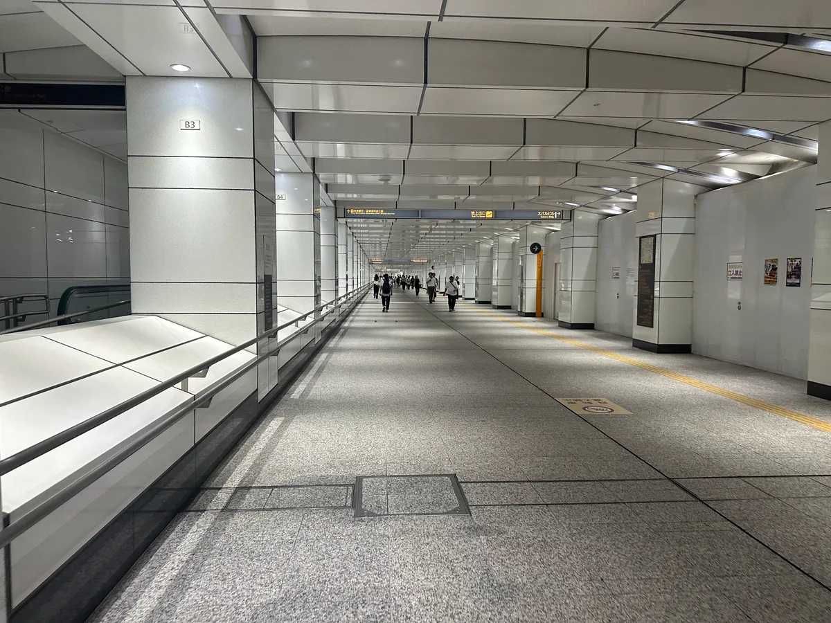
This leads to a bunch of government offices. Follow the tunnel all the way until you get outside.
Find the bus stop
Once you exit the tunnel, you’ll have a road on the left of you. Keep going straight and cross at the next crossing to the other side of the road. Then keep going along the road. Within a 5 minute walk (it’s quite close) the entrance to the bus stop should be on your right. I usually use Google Maps here just to double-check where I am, but there should be a sign on the outside wall as well.
It doesn’t look like much of a bus stop, but just head into the middle of the building, where there will be representatives from a number of bus companies who you can confirm your seat booking with.
If you’re completely lost, and you stand around on the road long enough, you should probably see the occasional person walking around with an over-sized hiking backpack who you can follow as well.
Alternatively: come via the metro
If you come via the metro line instead, there’s handily a Tochomae train station. One of its exits is right outside the bus stop.
Leave a comment